It's been two years since I was last at Derrick Lake and at the end of that trip I was swearing off ever returning at least via the fisherman's trail. It's hard for me to place what it is about that trail, but it always seems to do me in more than most hikes. It's definitely not the hardest or the steepest or even the scariest, instead it's just relentless and wears you down. And for some reason I always rip my pants on this trail. But alas, I once again found myself packing for a trip to this lake and more.
Day 1
This time, I decided I wanted to try coming in via Snow Lake and make a loop. I knew it would be more miles, but I was hoping it might be a bit more enjoyable of a trek. We started off at the Dingford Creek trailhead on a Friday morning with plans to take the back way up to Snow Lake. The first few miles are quick and mostly flat along the Middle Fork. Then you start the climb. At first, the trail was really enjoyable. Nice climb through mossy forests with lots of ripe red huckleberries. Then, we started encountering blow downs, not bad at first, but soon progressed to an annoying level. The trail then starts to open up and you are on rocky switchbacks looking at the outflow from Snow Lake. This would be great except the plants were in a battle against the trail and they were winning. It was a lot of pushing your way through head high vegetation and hoping that your foot was still on solid ground. This took us quite a bit longer than we were planning.
 |
| The climbing begins |
 |
| Views start to open up |
 |
| Rocky trail (this was the more maintained section) |
 |
| Chair peak making an appearance above the Snow Lake outlet |
Eventually we made it to Snow Lake really envious of all the folks that had come in from I90 and had a highway of a trail and about 1,000 ft less elevation. I should also mention that we were hauling up our new raft for this trip, which is not one of those fancy lightweight backpacking rafts, in fact it's heavier than our previous one. I'm pretty sure the beast weighed in at around 12lbs(!) and is really just a glorified pool toy. So there was that and some celebratory beverages that were making our packs stupidly heavy.
 |
| Snow Lake |
 |
| Snow Lake Panorama |
 |
| A moment to relax |
 |
| Blue and green water |
After a little rest, it was back to the trail. We were up at Gem Lake pretty quickly then began our descent down to the Wildcats. At Upper Wildcat Lake we bid the trail fair well and began the real adventure. I had been here before and had my sites set on the little island. We
blew up our raft (we saved weight by leaving behind the pump) and hoped our vessel was seaworthy enough to handle the paddle. The island was nice. It gave us a view of the other end of the lake that you can't normally see. There was one small tent site and a couple old fire rings (which we didn't use).
 |
| Gem Lake |
 |
| One of the small lakes before Lower Wildcat |
 |
| Lower Wildcat through the trees |
 |
| Upper Wildcat |
 |
| I really hope this raft holds us both and all our stuff! |
 |
| still floating |
 |
| Our little island campsite |
 |
| What separated us from the mainland |
 |
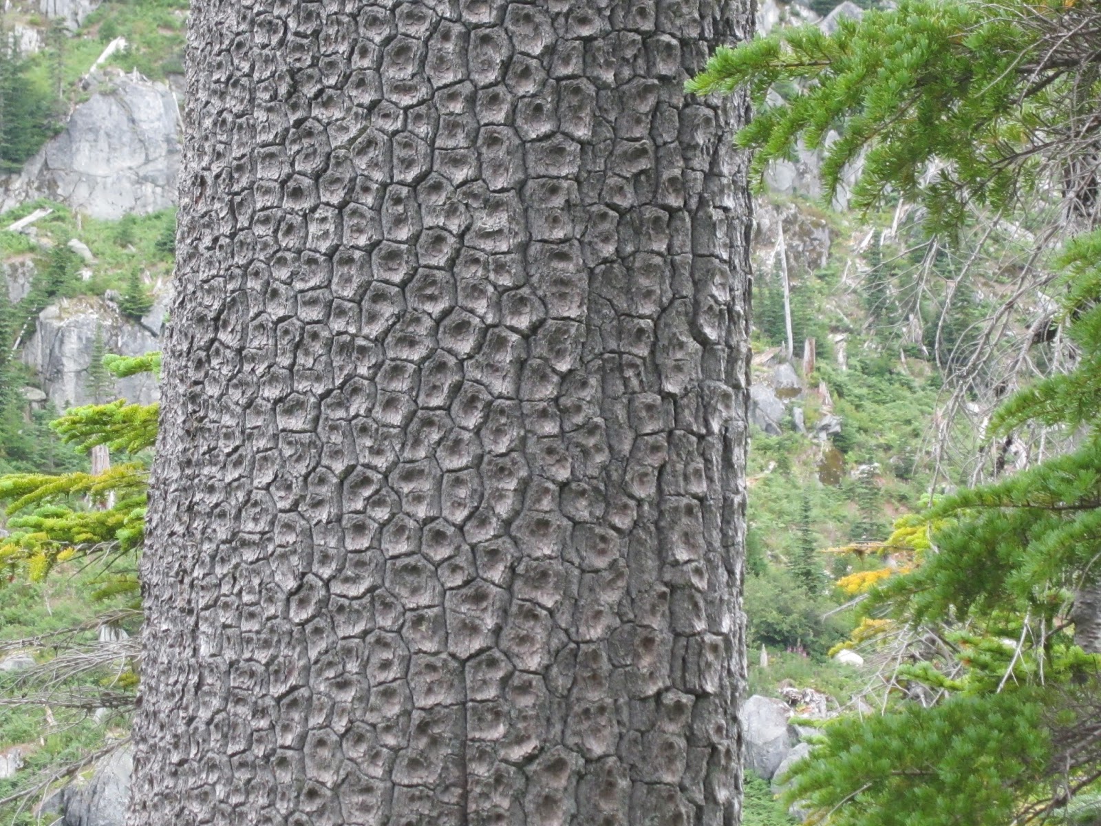
| Cool bark |
 |
| Pine needles |
Day 2
The next morning, we packed up, floated our raft, and headed up the ridge towards Caroline. The going was pretty straight forward, up the boulder field on the north east end of the lake then proceeded along the ridge. We found flagging tape and a bit of a boot path, but basically just followed the ridge. We considered going up Carolyn peak, but the clouds kept rolling in and out and we figured the views would be pretty minimal. Before too long we found ourselves looking down at Caroline Lake. We dropped down near the outlet (you get cliffed out if you drop too early). The lake was nice, but really windy. We had lunch, and then decided to move on.
 |
| Looking down on our island |
 |
| Roosevelt |
 |
| Wright and Mt Roosevelt |
 |
| One last look at Upper Wildcat |
 |
| Mt Caroline |
 |
| Preacher Mtn |
 |
| Our first glimpse at Derrick Lake |
 |
| Lake Caroline Panorama |
 |
| Mt Caroline from a different perspective |
 |
| The view to the north |
All the information we read described our next section down to Hatchet Lake as "straightforward," "easy," and "no problem." We beg to differ. Although it does look straightforward on the map, this was the most challenging section of our trip. There was nothing even close to a boot path or marker in this area. We contoured around the little high point north of the lake dropping just slightly. It was steep, slick, and slow but pretty open. We then reached the ridge, which on the map looks like it should be a nice walk on down. It's not. It's a mess of huge huckleberries and slide alders and other green things you have to battle through. Things with strong branches that some how always ended up popping back and smacking you right in the shins no matter what you try. It also had quite a few small hidden cliffs that kept re-routing our progress. It was do-able, but it wasn't pretty.
We ended up just below Hatchet at it's outflow. Derrick (the human not the lake) was so over it that he didn't even want to walk the extra 100ft to actually see the lake, but I convinced him to give it a look. We then debated a little about how best to drop to Derrick Lake, our destination for the evening. We decided to go down between the outflow of Hatchet and Caroline. Once safely on the shores of Derrick Lake we inflated the raft and begun our voyage across the lake. We were greeted by a group fishing who headed out early the next morning. Luckily our favorite campsite was open and we set up for the night.
 |
| Hatchet Lake |
 |
| Foam flower reophyte |
 |
| Finally on the shores of Derrick Lake |
 |
| Derrick Lake |
 |
| Moon |
 |
| Happy camper |
 |
| Moon reflection |
 |
| Cloudy moon |
Day 3
After battling lots of rocks and vegetation, this was our day to relax. We lingered around camp for a while then decided to do a little side trip up to Horseshoe Lake. Luckily this was an easy trip. Headed north a little then climbed the boulder field to the ridge, then an easy ridge walk to the lake. Horseshoe is a great little lake and we started to wish we had hauled our stuff up here to camp. It's more open than some of the other bigger lakes and it was surprisingly warm. We decided to take a little swim out to the island about 3/4 of the way down the lake. It was really nice. We thought about visiting Shamrock and Elbow, but decided we needed to leave something for the next trip. We spent several hours in this area just lounging around before heading back down for some rafting and huckleberry picking around Derrick. It was definitely our favorite day.
 |
| Looking down on our camp site |
 |
| Derrick and his lake |
 |
| Horseshoe Lake |
 |
| The little rock island |
 |
| Soaking up some sun |
 |
| Taking a load off |
 |
| Mmmm...Huckleberries |
Day 4
The next morning we were up early knowing we had a slow descent down the fisherman's trail. I really have a love hate relationship with this trail. It has moments where it seems great, a good adventure, but then there are moments where you want nothing more than to be done with it. The water level at Little Derrick was much lower than our past trip making the walk around the lake a breeze. Then began the creek boulder descent. This section is fine until the giant rock that forces you out of the creek and down one of the steep sides. In the past we had come up the west side and I hated the climb up steep slick dirt. This time I decided I would try the east side. Not any better. I traded dry slick dirt for wet slick rock, but I made it. Next time I'm bringing a hand line.
 |
| Sunrise at Derrick Lake |
 |
| Sunrise reflection |
 |
| Little Derrick Lake |
 |
| Sliding down the creek |
 |
| This lovely area blocks your progress |
 |
| so you take wet slick rock |
 |
| or dry slick dirt |
There was one other tricky spot in the creek. I opted to lower down my pack so I could shimmy down a steep section without it. Unfortunately my pack landed with more force than I thought and rolled about 5 feet landing in the creek soaking my lunch. Eventually we were out of the creek and up the steep rocks to the trail through the huckleberries and the towards Tin Cup Joe Falls. This went relatively fast. There are a few steep section, but they all had good roots to use for hand and foot holds. This is probably my favorite part of the trail.
 |
| Thankful for those roots |
 |
| Down we go |
 |
| This part is actually fun |
 |
| A little hard to see the trail though |
 |
| loosing elevation quickly |
After the crossing below the falls, it feels like you should be home free, but the two massive piles of blow downs (each about 50 trees) bring you to a screeching halt. By time we made it over those we were really ready to be at the car. Just a little bit longer through the second growth forest and then we were back on real trail! A mile more of that and we were back where we started.
Looking back this trip definitely had some moments where Derrick and I would turn to each other and wonder why we were doing this, but overall it's a grand adventure and you do feel really accomplished with each lake reached.